MAPS Bird Banding
03/15/2020
By: Margaret Rohde, Conservation Manager
In the summer of 2015, Wissahickon Trails established a MAPS (Monitoring Avian Productivity and Survivorship) banding station on Crossways Preserve. The MAPS project was created by the Institute for Bird Populations – a nonprofit based in California, dedicated to research on the abundance, distribution, and ecology of birds, in response to bird population declines. The project seeks to understand the factors that influence their survival and productivity (the main drivers of population change) over time, their distribution and response to climate change, and to help determine best management practices for preserved lands.
Wissahickon Trails is not only collecting helpful information about our own land and how our management strategies influence the birds dependent upon it, but we are also contributing to a large-scale, continent-wide research project to help monitor bird populations for years to come. The banding season takes place each year at Crossways Preserve, from mid-May to early August.

What is bird banding?
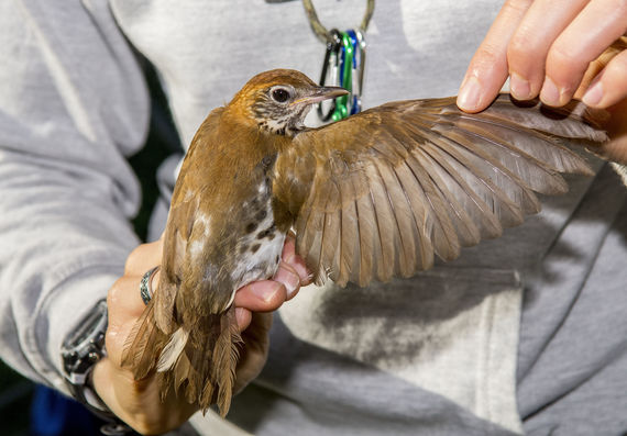
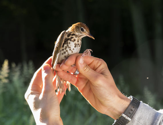
Bird banding involves the safe capture of wild birds in nylon nets called “mist nets,” by trained staff who then record valuable information, including species, sex, age, wing length, amount of stored fat, and weight. A small aluminum band issued by the U.S Geological Survey with a unique, 9-digit number is placed on one leg of each bird, giving every banded bird an identity, and allowing researchers to record information about the same individual more than once if, and when, it is recaptured - either where it was first caught, or thousands of miles away, and possibly for years to come.

Why should we band birds?
Bird banding helps us monitor populations, determine their longevity, understand how land use and management might be influencing their survival and productivity, and make more informed decisions on how best to manage and conserve the land they need to live and thrive. Banding makes year-to-year comparisons possible - things like arrival and departure dates for migrating species; breeding dates for resident species; whether a species’ population is declining or increasing; and at what stage of life bird populations are most susceptible (this is the question MAPS stations seek to answer in particular). These data can effectively help us understand the state of the earth’s environs as a whole, because birds serve as strong indicators of how environmental factors might be (and likely are) influencing all forms of wildlife.
Since 2015, we have amassed a data set that includes 1,186 capture records across 42 species. The information we collect provides us with valuable insights around the survival and productivity of the populations that rely on the preserve, and we hope to continue the project at Crossways for years to come.
