This hike has been rescheduled from 9/13. Anyone who previously registered does not need to do so again!
This fall, Wissahickon Trails will host eight guided hikes along the Green Ribbon Trail. The hikes will vary in length and explore different sections of the 10.5 miles managed by Wissahickon Trails. Participants can join one hike, choose the sections that interest them most, or take part in the full series!
We are happy to offer our programs at no cost to participants. If you are able, a suggested donation of $10 is greatly appreciated and helps make programs like this possible. Wissahickon Trails is a local, community-supported nonprofit funded by the generosity of individuals, foundations, and businesses. Donate online today.
The first section will be a 5-mile exploration of the trail between Parkside Place and the Evans-Mumbower Mill. Beginning and ending at Parkside Place Park, we will hike 2.5 miles along the Green Ribbon Trail to the historic Evans-Mumbower Mill. After a short break at the Mill, the hike will travel the same 2.5 miles back to Parkside Place.
Access Info
Elevation change: less than 100ft
Trail surface(s): Asphalt, grass, hard-packed dirt; dirt with roots, rocks, and dips. Note the wooden bridges/boardwalks can become very slippery if wet.
Pace: Moderate – roughly 30 minutes per mile
Features: Stepping stone crossings across the creek; multiple wooden bridges and boardwalks of varying lengths, some with steps up and some with wooden or earthen ramps; wooden steps.
Amenities: Restrooms available at Parkside Place & port-a-potty at the Evans-Mumbower Mill.
Shade: Many sections of the route are shaded, but we will also be walking through areas with no shade.
Habitat: Paved parking lots, residential, forest, fields
What to bring: water, sun protection, durable shoes
Detailed Desctiption:
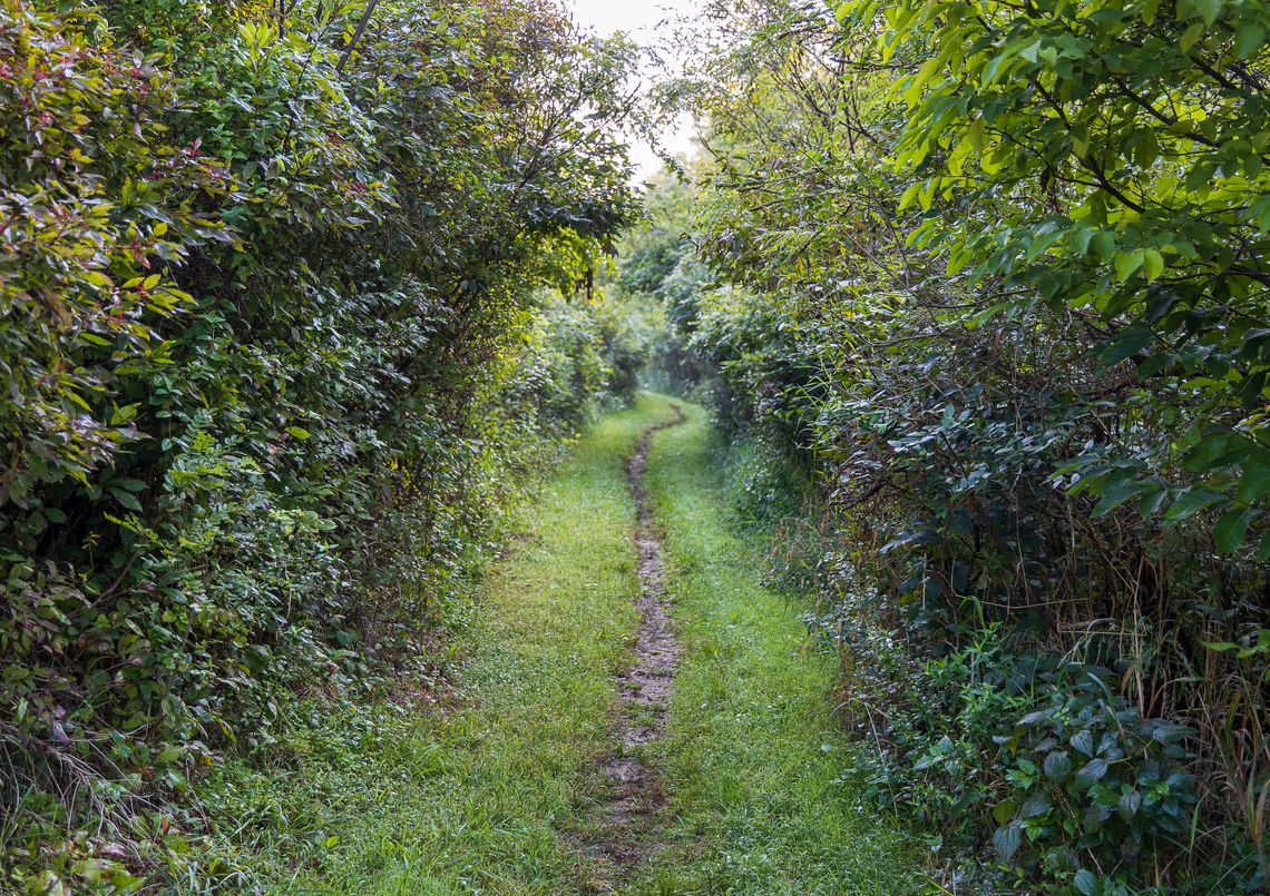
For the first few minutes, the trail is on asphalt, then it turns to a mowed grass path with some patches of dirt/mud/embedded and loose gravel. The trail then turns into the woods and there are several boardwalks/ one small bridge over seasonally muddy areas and a small stream. The first set of stepping stones is roughly .75 miles in and consists of 9 cement stepping stones embedded in the creek bottom. Getting to the stepping stones requires a short scramble down large, irregularly-shaped rocks. On the other side, 10 wooden steps with a handrail bring trail users back up to the trail surface. The trail continues to be mowed grass/packed dirt, with 3 wooden boardwalks/bridges (each with earthen ramps on and off) before crossing North Wales Rd.
After North Wales Rd. the trail crosses the creek at the Memorial Crossing, where there are 18 cement stepping stones embedded in the creek bottom, and another four reasonably flat but not totally stable large rocks across the creek. To get to them from the trail on either side is a hard-packed dirt trail with less than 5% slope. Note that three of the cement stepping stones have some tilt, although they do not shift underfoot. On the south side of the creek there is a large chicken wire layer over the trail bed/rocks, which is there to assist with keeping the rocks in place but sometimes lifts higher than the trail surface and can be a tripping hazard.
Trail continues as mowed grass/packed dirt with several more small bridges and boardwalks before arriving at the 1.5 mile marker. The trail then crosses the creek once more at the Merck Crossing, where 7 concrete stepping stones embedded in the creek bottom and one large boulder acting as a stepping stone on the southern end. The trail has a large gravel surface that leads down to the crossing at less than 5% grade on the north side, and on the south side the large gravel trail has a 15% incline.
The trail surface continues to be packed dirt with roots and rocks and after the Merck crossing, it rises gently and follows the side of a slope above the creek. There are no guard rails here and lots of roots in this short section. The trail then crosses an access road to the Upper Gwynedd Wastewater Treatment plant at the 2-mile marker and continues briefly through a meadow before reentering the woods, where there are more boardwalks/bridges and short stretches of gravel. We will walk up Swedesford Rd. to the Mill to rest and begin the return trip.